
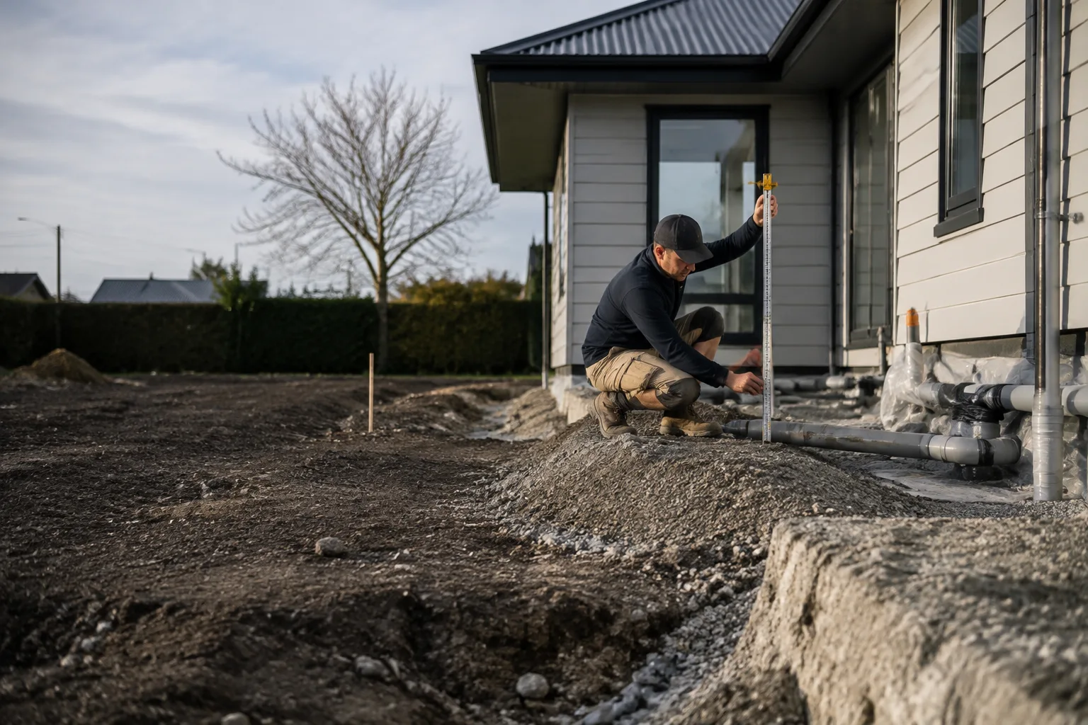
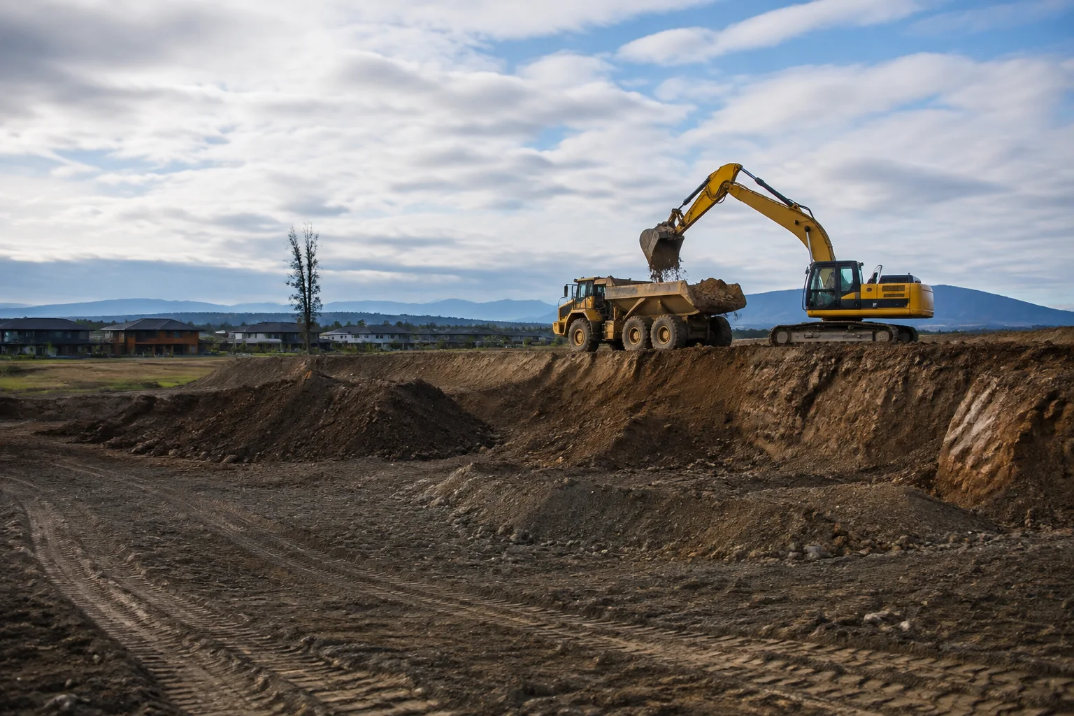
Bulk Earthworks & Site Cut-to-Fill
Cutting, filling and re-shaping land to bring a site to the levels your build or subdivision design calls for.
View serviceConsents & site checks
TC1, TC2 and TC3 are land classifications that emerged from the Canterbury earthquake rebuild — here's what the terms meant, and why homeowners still run into them today.
Technical Category (TC) land classifications relate to the post-2010-2011 Canterbury earthquake rebuild. Confirm current terminology and your property's status directly with Christchurch City Council or a geotechnical engineer — this guide is general background, not a property-specific assessment.
Your site. A clear next step.
Christchurch TC1, TC2 and TC3 Land: What Homeowners Should Know explains what these land classifications from the Canterbury earthquake rebuild actually meant, and why homeowners still run into the terms today.
Tell us what you want to achieve, where your site is and when you would like to start. Include any plans, access constraints or measurements that will help us understand the work.
Consents & site checks
Updated 2026-09-06
Following the Canterbury earthquake sequence of 2010 and 2011, government agencies and engineers needed a way to describe how different areas of land across greater Christchurch had responded to the shaking, and what that meant for rebuilding safely. Widespread liquefaction, lateral spreading and settlement had affected land unevenly — some areas performed well, while others experienced significant ground damage even where houses close by came through comparatively unscathed. Out of this, a land categorisation system was developed to guide foundation design for residential rebuilding, grouping land into broad technical categories based on the level of liquefaction-related risk observed and assessed.
It's important to understand this as a rebuild-era planning tool developed for a specific and unprecedented situation, not a permanent or universal system used the same way everywhere in New Zealand.
Consents & site checks
In general terms, TC1 was used to describe land where the risk of liquefaction damage in future significant earthquakes was assessed as low, meaning standard residential foundation designs were typically considered adequate. TC2 described land with a moderate assessed risk, generally calling for some enhancement to standard foundation designs. TC3 described land where geotechnical investigation of the individual site was recommended before foundation design was finalised, because assessed risk and ground behaviour varied significantly even between neighbouring properties.
These categories were broad-brush classifications covering large areas, not a precise assessment of any single section — which is exactly why site-specific geotechnical investigation mattered so much for TC3 land, and still matters today whenever the ground beneath a specific property needs to be properly understood rather than assumed from its general area.
More than a decade on, TC classifications still surface in property reports, LIM reports, insurance discussions, real estate listings and conversations with builders and engineers, because they remain part of the record of how land across greater Christchurch was assessed after the earthquakes. Anyone buying, selling, insuring, or planning building work on a property in an area that was classified may still see the historical designation referenced, even though understanding of specific sites, terminology used by professionals, and the practical requirements for building have continued to evolve since the original classification was made. It's a reasonable question to ask when researching a property, but it's important not to treat an old classification as the final word on current ground conditions — those should always be confirmed through up-to-date, site-specific investigation rather than assumed from a label attached over a decade ago.
Consents & site checks
The purpose of the TC system was fundamentally practical: it existed to guide what kind of foundation a new or rebuilt house needed to perform adequately in future earthquakes, given what had been observed about how the land responded in 2010 and 2011. Foundation solutions associated with higher-risk categories generally involved more robust or engineered designs than a standard slab, reflecting the greater uncertainty identified in the ground beneath. This connection between land classification and foundation type is why the terms still matter practically today — if you're planning any new building work, an addition, or significant earthworks on a property in an area that carried one of these classifications, it's worth understanding what that classification was based on and whether it still reflects current geotechnical understanding of your specific site, rather than assuming either that nothing has changed or that a historical label no longer applies.
If you want to understand whether your property was ever classified, or what current information exists about the land, start with Christchurch City Council, whose property files and LIM reports can provide historical records relevant to your specific address. LINZ holds property title and boundary records that can be useful alongside council information, particularly for understanding a property's history and any registered interests. Toka Tū Ake EQC's historical involvement in the Canterbury rebuild also means EQC-related records may be relevant background for properties that went through insurance claims processes at the time.
None of these sources on their own will give you a definitive, current geotechnical assessment of your specific site — for that, you need a suitably qualified geotechnical engineer, which is exactly why this guide stops short of telling you what your particular property's status is or was.
Consents & site checks
Whatever a property's historical classification, decisions about foundation design, site-specific ground behaviour, and what's required for a particular building or earthworks project should be made by a qualified geotechnical engineer, not inferred from a general area classification alone. Christchurch Earthworks doesn't produce geotechnical reports or make geotechnical engineering assessments — that's a distinct, regulated professional discipline, and it's genuinely important that it's treated that way. What we can do is prepare a site so that geotechnical investigation — test pits, boreholes, or other site investigation methods — can happen efficiently, and then carry out earthworks in line with whatever foundation design and ground preparation requirements a geotechnical engineer's report specifies for your particular property, whether that's straightforward bulk earthworks or more involved ground preparation.
If you're planning a build, renovation, or significant earthworks on a Canterbury property with any connection to the post-earthquake classification system — or simply on land where you're unsure of its history — the sensible order of operations is to check available records with council and LINZ, engage a geotechnical engineer if your project or the property's history suggests it's warranted, and then bring an earthworks contractor in once you understand what the ground actually requires. Trying to shortcut this sequence by assuming an old classification still applies, or that it no longer matters, risks either overbuilding unnecessarily or under-preparing a site that genuinely needs more careful foundation work. Treating the TC terminology as a prompt to ask the right questions, rather than as a final answer about your property, is the most useful way to approach it as a homeowner today.
Keep these points in mind
TC1, TC2 and TC3 were land classifications developed after the 2010-2011 Canterbury earthquakes to guide residential foundation design.
The categories described broad, area-based assessed risk — not a precise reading of any single section.
These terms still appear in property records, LIM reports and real estate listings across greater Christchurch today.
An old classification is historical background, not a substitute for current, site-specific geotechnical advice.
Check property history with Christchurch City Council and LINZ, then talk to a geotechnical engineer about your specific site.
Christchurch Earthworks doesn't produce geotechnical reports, but can prepare sites for investigation and carry out earthworks to an engineer's specification.
Put the guide into practice
Cutting, filling and re-shaping land to bring a site to the levels your build or subdivision design calls for.
View service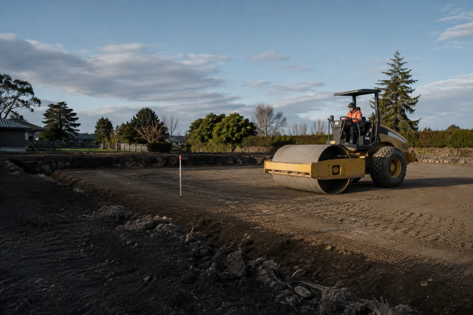
Excavating and compacting a level, engineered building platform ready for foundation work, to your designer's specification.
View service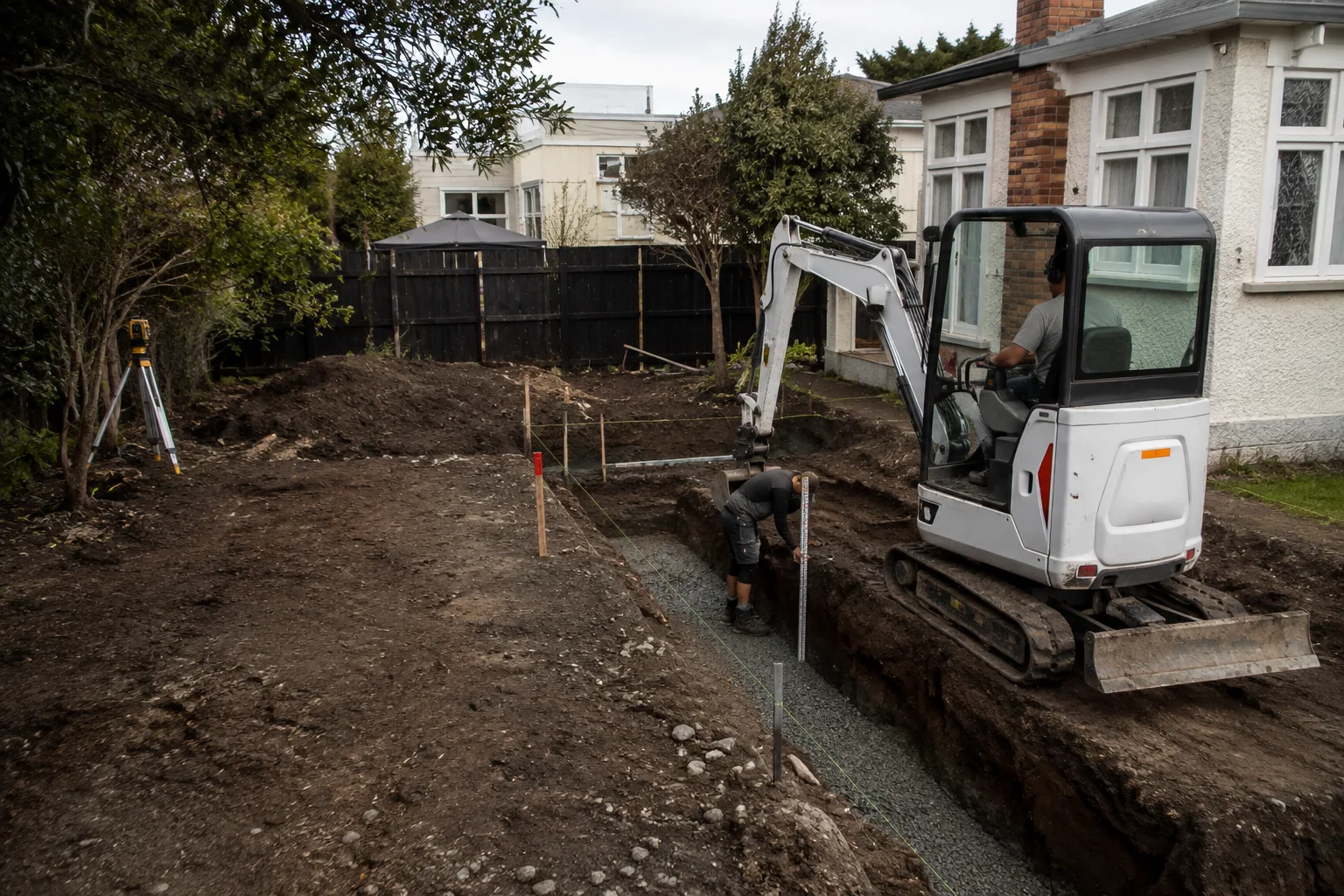
Precise excavation for foundations, footings and slabs to your engineer's drawings, with levels and depths checked before pour.
View serviceTell us about your project and we will come back with clear next steps — no pressure, no jargon.
YOUR SITE. THE NEXT CHAPTER.
Start with your suburb, a few site details and what you want to build.
Plan your project